
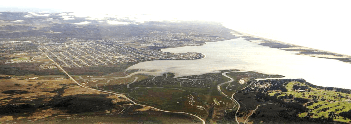
Envisioning a More Resilient Connection Between Morro Bay and Los Osos
SLOCOG launched the Morro Bay Estuary Climate Resilience Transportation Plan in spring 2024 with funding from Caltrans. This project develops solutions to improve car and bicycle transportation and public access between Morro Bay and Los Osos. Another goal of the project is to protect the habitats of the estuary and State Parks.
Morro Bay Estuary Climate Transportation Study Deliverables
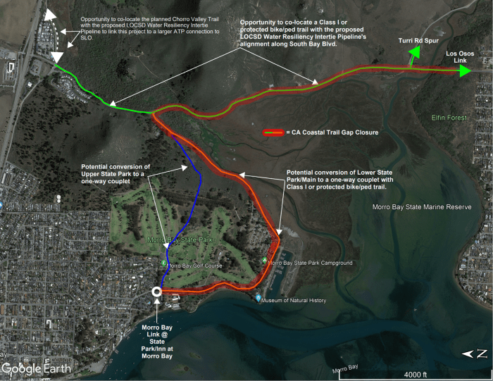
The lines on the map illustrate the roads and trail access points included in SLOCOG’s Morro Bay Estuary Climate Resilience Transportation Plan.
The project began with an inventory of the transportation infrastructure, recreational opportunities, and sensitive habitats at risk from flooding. Next, project managers developed a hydrodynamic model that simulates and predicts water movement and flow patterns in the bay.
This model simulated vulnerability for three sea level rise scenarios (0 ft, 1.8 ft, and 6.3 ft) under storm and non-storm conditions.
Further analysis of possible road closures will be summarized in a coastal hazards and vulnerability assessment expected in summer 2025. Visit the project’s website for more details and reporting information.

Portions of South Bay Boulevard and State Park Road near Windy Cove could face daily tidal flooding by 2060 under high sea level rise projections. Pictured here is the parking area at Windy Cove during an extreme high tide. This gives us an idea of possible impacts from rising seas.
Community engagement is also central to SLOCOG efforts. The organization hosted a workshop late last year to gather community feedback on existing conditions and possible ideas for adaptation. The project team is using existing coastal hazard maps and community input to identify options to enhance transportation while protecting habitat. The project team will also create a conceptual design for a new protected bike and pedestrian path linking the communities of Los Osos and Morro Bay. Stay tuned for additional community engagement opportunities later this summer.
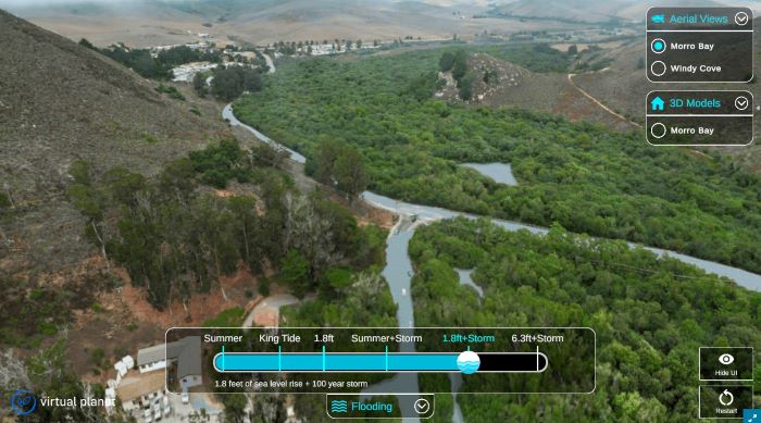
Check out the this virtual reality tool (FOUND HERE) by Virtual Planet that shows potential flood impacts.
The graphic shows the possible impacts of a storm combined with 1.8 ft of sea level rise, which could cause flooding on portions of State Park Road and South Bay Boulevard.
This project will involve the County, City of Morro Bay, Caltrans, State Parks, the Estuary Program, and other partners. We will be working together to seek funding, implement projects, and provide expertise.
For more information about this project, contact John DiNunzio [email protected].